Can Remote Sensors Measure Soil Carbon?
This article is the third in a three part series on remote sensing. Read “How do Remote Sensors Work?” here, and “What Can Remote Sensing Tell You about Your Field?” here.
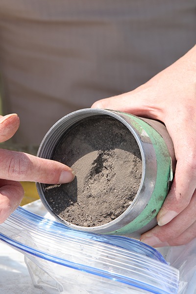
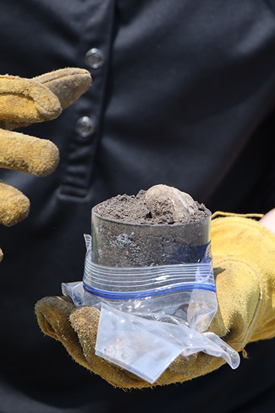
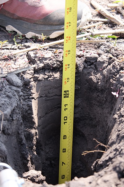
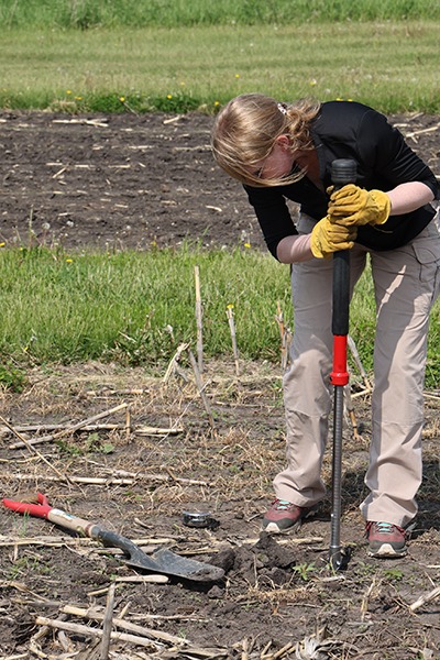
The short answer: Remote sensing can provide information about indicators that relate to how much carbon may be in the soil, but with current technology, it’s not possible to measure soil carbon stocks with remote sensing from drones, UAVs, or satellites alone. Baselining and ground-truthing soil carbon estimates with soil samples is an important part of a high-quality carbon measurement plan.
Break it down: Remote sensing gathers information about the earth’s surface using passive and active sensors. Data from remote sensors can help farmers and landowners manage their fields.
Recently, there have been multiple companies cropping up that claim to measure soil organic carbon concentration using remote sensors alone. So is that possible?
- Visible near-infrared and shortwave infrared (VNIR-SWIR) sensors in the lab, when used on small soil samples at close ranges, could help identify the amount of soil organic carbon (SOC) in a given sample, as a recent study published in Soil and Tillage Research showed.
But estimating SOC using a drone, unmanned aerial vehicle (UAV), or satellite-mounted sensor is much more complicated.
- Drone, UAV, and satellite-mounted sensors cannot measure anything below the soil surface. They are also only able to measure soil physical properties as long as vegetation is not covering the soil.
- For bare fields, scientists have had some success using SWIR or near-infrared wavelengths to estimate soil organic carbon concentration. But those estimates still require calibration data to train the model and samples to ground-truth the accuracy of the model estimates.
- Plus, remote sensing can’t tell you anything about the distribution of soil carbon deeper in the soil profile.
- Finally, predictions about soil carbon are only as good as the training data used to create the models underlying the conversion of remote sensing information to soil carbon concentration. These models are often based on publicly available data sets relating soil type, texture, and baseline carbon concentrations.
Understanding the carbon distribution in the soil is a key hurdle for remote sensing technology. Without knowledge of carbon concentrations throughout the soil profile, it’s incredibly difficult to get an accurate measurement of soil organic carbon stock.
So what can remote sensors tell us about indicators related to SOC?
- Biomass: The amount of vegetation in a field or forest is linked to the amount of carbon that ends up in the soil. Remote sensors can be helpful for estimating how vegetation growth might impact carbon concentration over time.
- Soil moisture: Remote sensors are helpful for sensing soil moisture, which is often related to soil carbon concentrations.
- Thermal: Bare soil temperatures are cooler when there is more moisture present, and warmer when less moisture is present.
- Radar: Backscatter from radar can tell you about soil structure.
Finally, here are some questions to ask when evaluating whether a remote sensor will be able to give you the information you need for your field, farm, or project:
- What is the uncertainty of the model?
- How was the model trained?
- Which indicators is the model using?
- Does the scale of the measurement match up with the information reported?
In short, you really can’t get away from taking in-field measurements to verify that the predictions made by a remote sensing model are accurate. Remote sensing data is a useful tool for monitoring and prediction but does not replace soil sampling and on-the-ground data collection.
Photo by European Space Agency on Flickr.