What Can Remote Sensing Tell You About Your Field?
This is the second article in a three-part series on remote sensing. Check out the first article, “How Do Remote Sensors Work?” and the third, “Can remote sensors measure soil carbon?“
The short answer: Remote sensing can tell you about nutrient deficiencies, diseases, weed infestations, weather damage, stressed plants, soil pH, and soil water content. It also gives great insight into soil moisture, the density of plants on a field, and may even be useful for predicting soil carbon levels when paired with on-the-ground sampling.
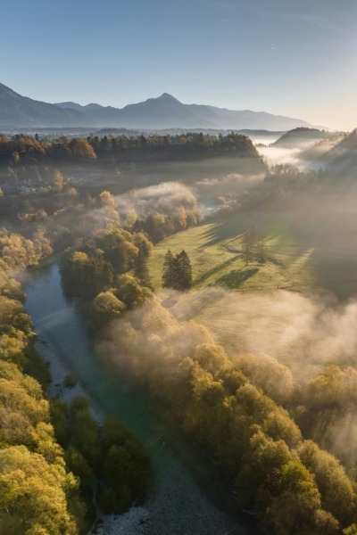
Back it up: By taking a bird’s eye view of your fields, remote sensing can give you insights that you may not be able to gather from the ground. But it’s not the best tool for every job.
- Remote sensing data might come from sensors mounted on an aircraft or on a satellite orbiting the earth. Or you can mount a sensor on a tractor or a drone (unmanned aerial vehicle) to get more detailed images from closer up.
- An example: Photos! Satellite and aerial photos collect information about the reflected light in the visible spectrum. With the help of computer analysis, historic field photos can provide a lot of information about how management has changed over time.
Dig deeper: What can remote sensors tell us about an agricultural field? They can help:
- Develop site management and delineate field zones. Remote imagery provides insights into field boundaries, vegetation growth, and how well vegetation has grown in certain areas in the past, helping you make decisions about how to sub-divide a field for management.
- Track soil moisture. NASA has the Soil Moisture Active Passive (SMAP) tool that provides satellite monitoring of soil moisture, enabling better crop yield prediction and irrigation planning.
- Measure crop growth and estimate yield. With the Normalized Difference Vegetation Index (NDVI), satellite images can be used to see how much vegetation is growing. Those NDVI values can help estimate crop yield, with higher NDVI values at critical times in the growing season often correlated with higher yield.
- Sense crop stress. With multiple years of NDVI data, farmers and land managers can compare NDVI values from past years to understand where vegetation is growing well and where plants may be stressed.
- Differentiate vegetation type. Different plant species show up differently in some remote sensing data. Remote sensing can help identify patches of weeds in crops, and can tell the difference between crops, shrubs, and trees.
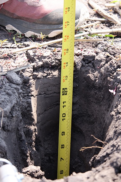
- Understand soil type. Digital soil mapping relies on geographic information, location data, spectral data from remote sensing, and elevation to understand soil type. Remote sensing can be used to create initial soil survey maps, and, with the help of models, predict soil type and texture.
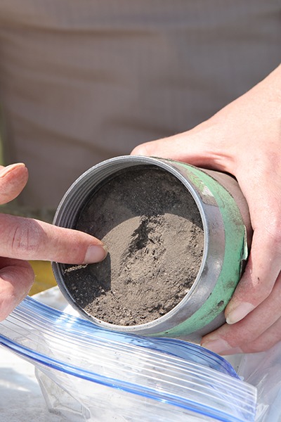
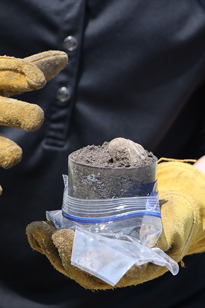
- Analyze soil properties. Handheld and machine-mounted spectrometers are becoming useful tools to analyze soil properties like iron content. Satellite-based remote sensors are also helpful for differentiating soil types, textures, and landscapes.
In short, remote sensing technologies can be valuable tools that, in combination with walking your fields, can help guide management strategies, track changes in the field and soil over time, and give predictive insights for yield and soil moisture.
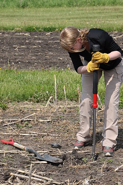
Photo by Yulia Panevina/UN Women on Flickr.