How Do Remote Sensors Work?
This is the first in a three-part series on remote sensing. Stay tuned for the second and third articles, “What Can Remote Sensing Tell You About Your Field?” and “Can Remote Sensors Measure Soil Carbon?“
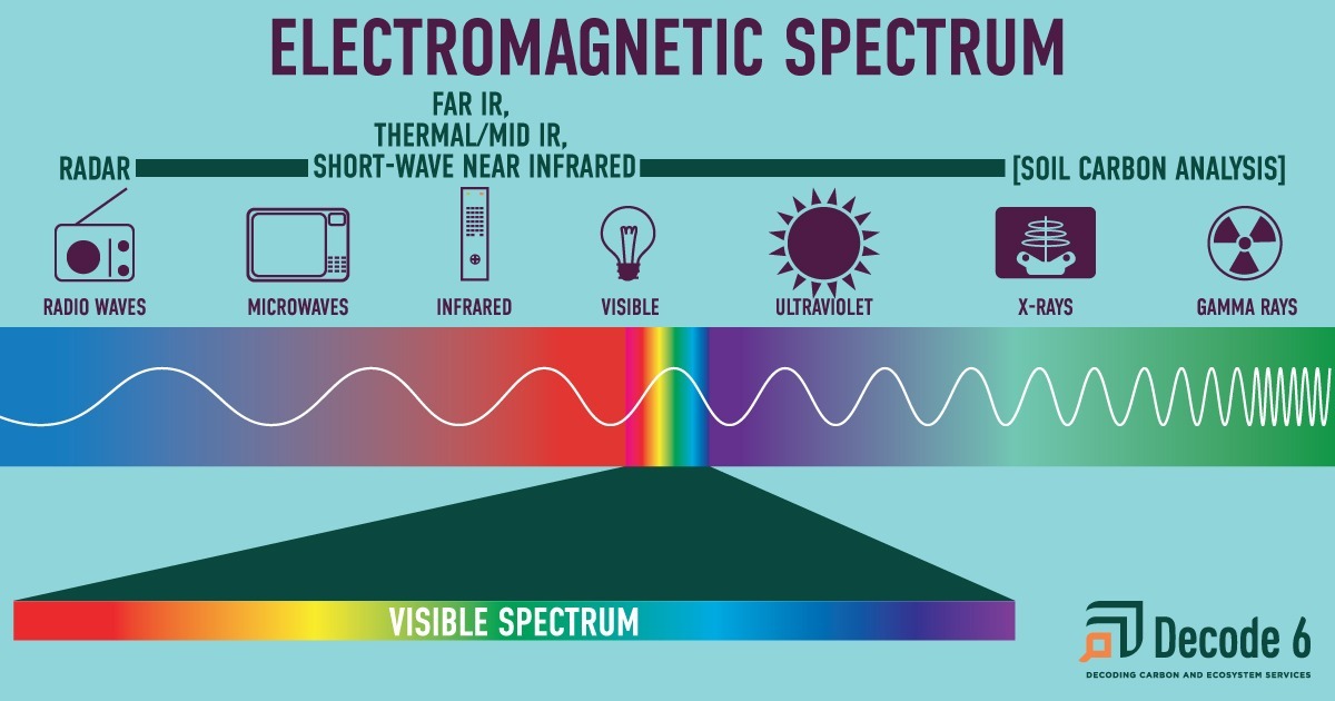
Most remote sensing techniques are next door neighbors with visible light on the electromagnetic spectrum. Graphic by Karen Brey.
The short answer: Remote sensors capture information about electromagnetic energy emitted or reflected from plants and the landscape.
- Remote sensing data have a wide variety of uses, including estimating yield, mapping boundaries, understanding soil type and properties, and giving early warnings for plant stress and weed infestations.
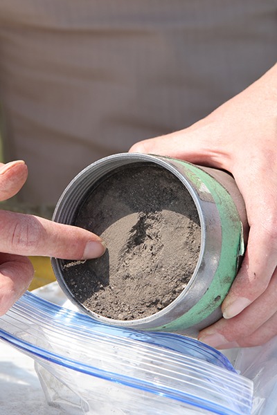
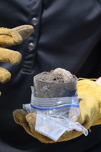
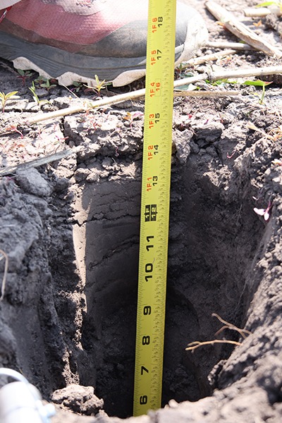
- However, remote sensing data are indicators to give predictions about what is going on at the field level, often based on complex models that are trained using data from physical samples. Remote sensing data provide insights and predictions, but are no substitute for direct measurements.
Break it down: Remote sensors can be classified based on how they gather information and their distance from the target.
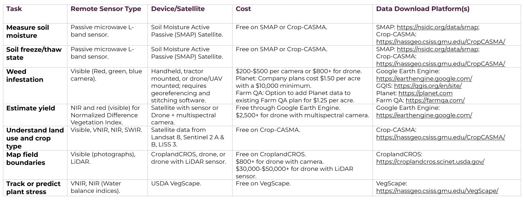
Table 1. Tasks are paired with the type of remote sensor that could complete them, along with the device/satellite needed, the cost, and other resources. Cropland-CROS, Crop-CASMA, and VegScape are easily found through a quick search, or using the links in the table.
Let’s tackle distance first. Remote sensors can be used as standalone machines in the lab, in handheld devices, mounted on tractors, attached to drones or unmanned aerial vehicles (UAVs), on airplanes or helicopters, or on low earth orbit satellites. Their distance away from the objects that the sensor is measuring determines their resolution and how much data are collected.
- Handheld sensors include tools like spectrometers and color sensors that take in very high resolution, detailed information, often about individual plants or soil samples. They’re often used by plant breeders and those gathering information about disease load and soil properties.
- Drones, or UAVs, operate from above the field and can gather information with very high resolution. The user can control flight paths, but coverage is limited by the fact that UAVs must often be kept within the operator’s line of sight.
- Airplanes and helicopters are the next step up, with high resolution and customizable flight paths. Airplanes and helicopters can also use LiDAR and radar to gather detailed, 3D maps of fields or forests. But the same things that make using planes and helicopters advantageous are drawbacks, too—they can only gather a relatively small amount of coverage and data are limited to the flight path itself.
- Low earth orbit satellites provide the largest swath of coverage, gathering information from outside earth’s atmosphere. However, information from satellites is coarser and shows less detail than other methods. It’s also limited to the flight path of the satellite, and so may take less infrequent measurements (i.e. once every time the satellite orbits the earth). Clouds, atmospheric conditions, and plants covering the soil surface can also obstruct the satellite’s ability to capture quality data.
Beyond distance, sensors are classified as either passive or active.
Passive remote sensors sense energy coming from somewhere other than the sensor. The most common source of outside energy is sunlight! These sensors include:
- Cameras. Your average handheld camera capture electromagnetic information from the visible spectrum, based on the colors reflected from the sun.
- Thermal infrared remote sensing (TIR). Thermal sensors sense infrared radiation—heat! In an agricultural field, an infrared view of the canopy or individual plant leaves can show whether those plants are under water stress. There’s also new research exploring how TIR can identify plant species even from great distances using their “thermal fingerprint.”
- Hyperspectral radiometers differentiate spectral bands in the visible, near-infrared, and mid-infrared ranges.
- Two commonly used sensors for agriculture include visible near-infrared spectroscopy (Vis-NIR) and shortwave near-infrared spectroscopy (SWIR). Plants absorb red and blue wavelengths of light, reflecting all others, including some outside of the visible spectrum the human eye can see. Vis-NIR and SWIR can detect the wavelengths of light that plants reflect and give researchers insights into the types of plants in a field, weed infestations, disease pressure, and water content in the soil. With SWIR, the more water there is in the soil, the darker the image will appear.
- The Landsat Program managed by NASA and the U.S. Geological Survey is a prominent example of a system using VNIR-SWIR sensors.
- One drawback—these satellite-mounted sensors often have limited resolution, which means they can’t separate out super fine details, but give great overviews at larger scales.
Active remote sensors generate their own energy, and the sensors collect information about how much energy comes back to the sensor and what it looks like. It’s like a bat using sonar—the bat actively creates a high pitched noise, and their ears sense how the sound bounces back. Here are some types of active remote sensors with applications in agriculture:
- Light detection and ranging (LiDAR): LiDAR uses a laser sent from a transmitter to gather information about the distance of object from the sensor. It uses a combination of VIS-NIR, SWIR, and NIR. That is, LiDAR can be used to create a representation of the earth’s surface in 3D, and it’s particularly useful for estimating forest structure as it shows multiple layers as the laser bounces and returns through the trees. LiDAR also has promising applications in precision agriculture, from sensing vegetation growth to better understanding soil type.
- Radio detection and ranging (Radar): Radar works just like LiDAR to map the distance of objects, but emits radio waves instead of light waves. Because radio waves have a much longer wavelength than the lasers used in LiDAR, radar is better suited to mapping larger objects or tracking movement.
- X-Rays and Gamma Rays: At very close ranges in the field or the lab, researchers have been using X-rays or Gamma rays to predict soil carbon concentration, total calcium, total iron, or other soil parameters like cation-exchange capacity or soil salinity. However, this method must be used with caution, since exposure to radiation can be harmful over time.
In short, each type of sensor has different applications at different scales in agriculture. And most sensors are gathering data that make a prediction about what is going on at the field level, using ground-truthing and sampling to train models that turn information from the electromagnetic spectrum into a best guess at what’s going on at the field, plant, and soil level.
Understanding what a sensor can and cannot tell you—and at what level of precision—will help you better use them to support your decision-making in the field and parse through claims of measurement without verification.
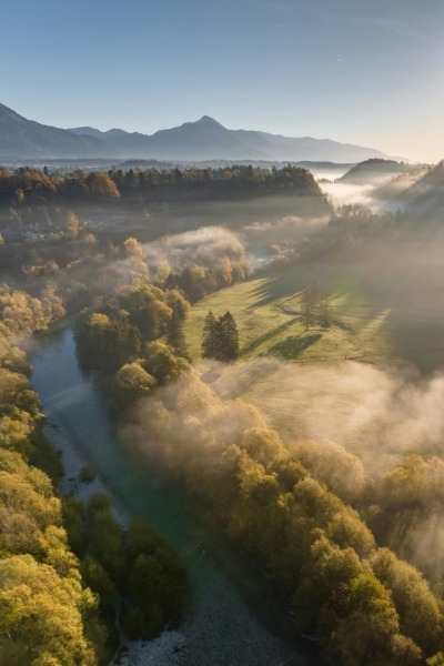
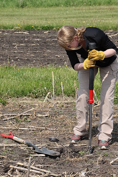
Photo by USGS on Unsplash.